Smart sensor technology used for preserving Norwegian World Heritage site
22.10.2020
The colourful row of historic wooden buildings on Bryggen in Bergen has been on the UNESCO World Heritage list since 1979 and is the third most visited tourist attraction in Norway. Now, 21 smart sensors monitoring the condition of Bryggen around the clock, is enabling action to be taken more quickly than before and helping to preserve this World Heritage site for the future.
“If we take the historical view, we have almost 1,000 years of Bergen’s past in Bryggen. Bryggen has a central place in world history, Norwegian history and of course the history of Bergen. So it is exciting to be using technology to keep Bryggen intact,” says Jostein Soldal, project manager and geochemist at COWI.
COWI is a subcontractor to NIKU (the Norwegian Institute for Cultural Heritage Research), which is responsible for environmental monitoring of Bryggen on behalf of the Norwegian Directorate for Cultural Heritage. Together with the technology supplier Cautus, they are using sensors to track what is happening under Bryggen itself.
Moist cultural layers keep Bryggen safe
About 10 years ago, measurements of the buildings within Bryggen showed major damage from subsidence. The settlement rate was high, and studies showed that this was due to a low water level. In 2011, the Norwegian Ministry of Climate and Environment allocated NOK 45 million for measures to raise the groundwater level.
“We need to monitor developments closely. Then we can prevent the situation getting any worse. That’s where the sensors come in. They provide real-time data on the state of the foundations Bryggen is built on. Then we can take immediate action if we detect sudden changes in the data collected by the sensors,” says Soldal.
 Jostein Soldal is a geochemist with COWI and project manager for the monitoring of Bryggen on behalf of NIKU and the Norwegian Directorate for Cultural Heritage.
Under the wooden buildings are cultural layers up to 11 metres thick with archaeological remains from different periods. Many of these cultural layers have a high concentration of various organic materials. They consist of waste from construction and rubbish dumped by the people who lived and worked there from the 11th century onwards and remains from the many fires that destroyed parts of the Bryggen area.
These cultural layers are essential to the stability of Bryggen in the future, which is why they need to be monitored.
“The organic layers which make up the foundations of the buildings, streets and squares within Bryggen are dependent on the water table. Groundwater and surface water are needed for the rich organic cultural layers in the ground to provide a stable foundation for the buildings above. When the groundwater sinks, oxygen gets in and the organic layers rot or disappear,” says Hanne Merete R. Moldung, senior advisor at the Directorate for Cultural Heritage.
Damage from subsidence becomes more visible the further you go into the passages.
Sensors gather data
The Directorate for Cultural Heritage has installed a total of 47 monitoring wells in Bryggen, 21 of which contain sensors gathering large amounts of data.
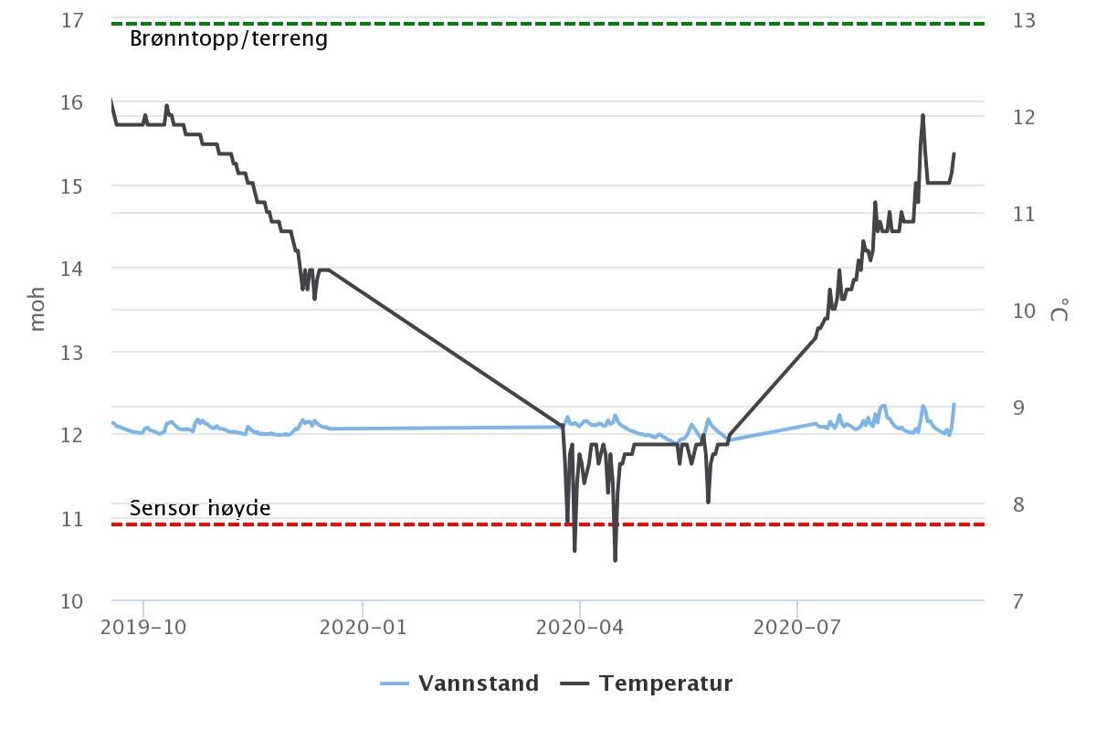
Continuous data collection provides the Directorate with a good picture of developments in Bryggen. The software used by COWI and Cautus allows them to track changes in a host of different parameters, including conductivity, water content, oxygen, redox (chemical energy), pH, pressure, precipitation, temperature and water level.
“The sum of all these figures, and their changes over time, gives us an overall picture of the health of Bryggen in Bergen. We have also collected a lot of historical data from older logs, so we can generate a good overview. The groundwater level has the biggest influence on the health of Bryggen, so of course we monitor that extra closely,” says Soldal.
How the data collected from the sensors is displayed in the software used for monitoring.
Effective measures to raise the water table
A number of measures have been taken to delay subsidence, including raising the water level beneath Bryggen. Infiltration beds with plants placed around Bryggen divert rainwater straight down into the soil. Surface water and water from roof gutters is also collected in a system of gullies and diverted into the ground.
“The key point is that there are enough sensors to enable NIKU and the Directorate for Cultural Heritage to take action just where it is needed the most. The monitoring also allows us to see the effects of new measures,” says Jostein Soldal.
The Directorate for Cultural Heritage says that the monitoring is planned to continue for 4-5 years.
“The groundwater level has risen and the settlement rate has decreased. We now plan to continue the monitoring with measurements and data collection to track the groundwater level and the settlement rate. At the end of this period, we will make a fresh assessment to determine whether the monitoring should be stepped down” says Hanne Merete R. Moldung, senior advisor at the Norwegian Directorate for Cultural Heritage.