Fargo Moorhead, USA
Diversion channel keeping 235,000 people’s feet dry

About
Challenge
The twin cities of Fargo in North Dakota and Moorhead in Minnesota have been flooded several times during the last century, and these events have become more frequent. Beyond the project's scale, the fast-track delivery schedule and extensive design scope, the spread across multiple geographies also poses a substantial challenge.
Solution
To protect the citizens from further flood-related destruction, an enormous USD 3 billion infrastructure project is being carried out, improving the resilience of the region. This includes 30 miles (48 km) of diversion channel, multiple road and rail crossings, and several hydraulic structures.
Value
The project will provide permanent and reliable flood risk reduction to protect communities and businesses in the Fargo–Moorhead area and surrounding rural communities. It will reduce the risk of property damage and displacement caused by severe flooding, thus improving quality of life.
Specifications
Facts
A 30-mile (48 km) river diversion channel to protect the Fargo-Moorhead metro area from the recurrent floods of the Red River.
Scope
The diversion channel will protect the cities of Fargo and Moorhead where more than 235,000 people and businesses live and operate.
Location
The Red River area, which is the natural border between the states of North Dakota and Minnesota, divides the cities of Fargo (located west of the river) and Moorhead (located east of the river).
Period
2021–ongoing
Country
USA
Partners
US Army Corps of Engineers and Metro Flood Diversion Authority Construction (owner), Joint venture of Acciona/Shikun&Binui/North American Construction (client) and Hatch (joint venture partner)
Services
Design lead role and design of diversion channel associated infrastructure (two interstate crossings, 11 county road crossings, three rail crossings, two aqueducts and 14 inlet structures).
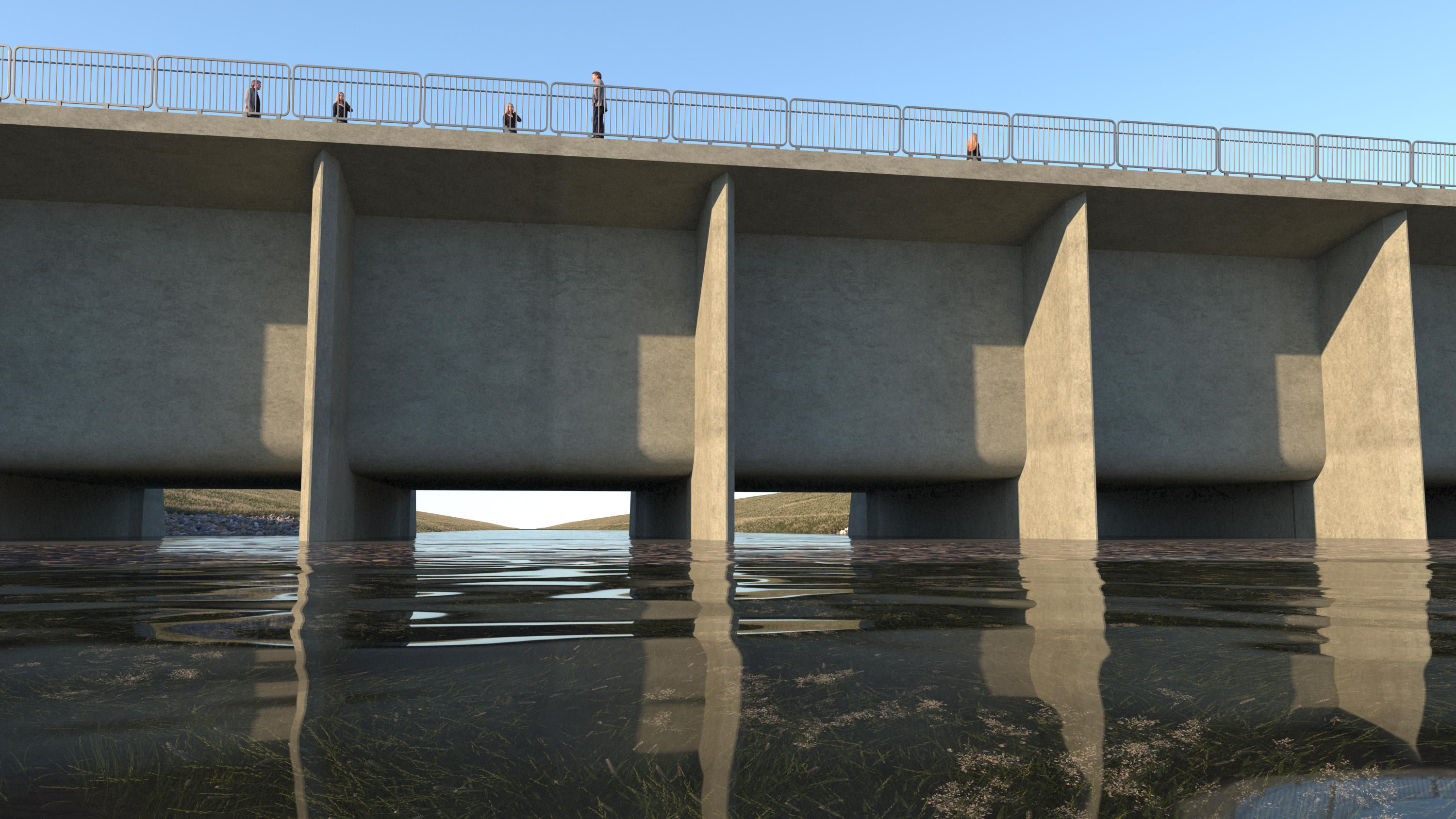
Protecting communities from massive floods and billions in damages
For generations, thousands of people living in the Fargo-Moorhead area have faced the perils of the flooding of the Red River of the North, which forms most of the border between North Dakota and Minnesota.
A combination of geological and climatic factors signifies that the flat area is prone to flooding, particularly in the spring when snow and ice melt, the ground is still frozen and there is increased precipitation.
“Our team is very excited to be a part of this ground-breaking comprehensive flood protection project, spearheaded by the US Army Corps of Engineers. This unprecedented initiative will mitigate significant flood risks, safeguarding the lives of over 235,000 individuals and the local economy while fostering resilient communities.”
John Chapman, Vice President and Market Director, Coastal Resiliency, COWI
The Red River flooding in 1997 demonstrated the devastating effects a flood disaster can have on a single metropolitan area, with damages reaching USD 3.5 billion.

A giant detour for floodwater
The Fargo–Moorhead P3 floodwater diversion project is a major climate change-driven mitigation measure to reduce the increasing risks of flooding in the region.
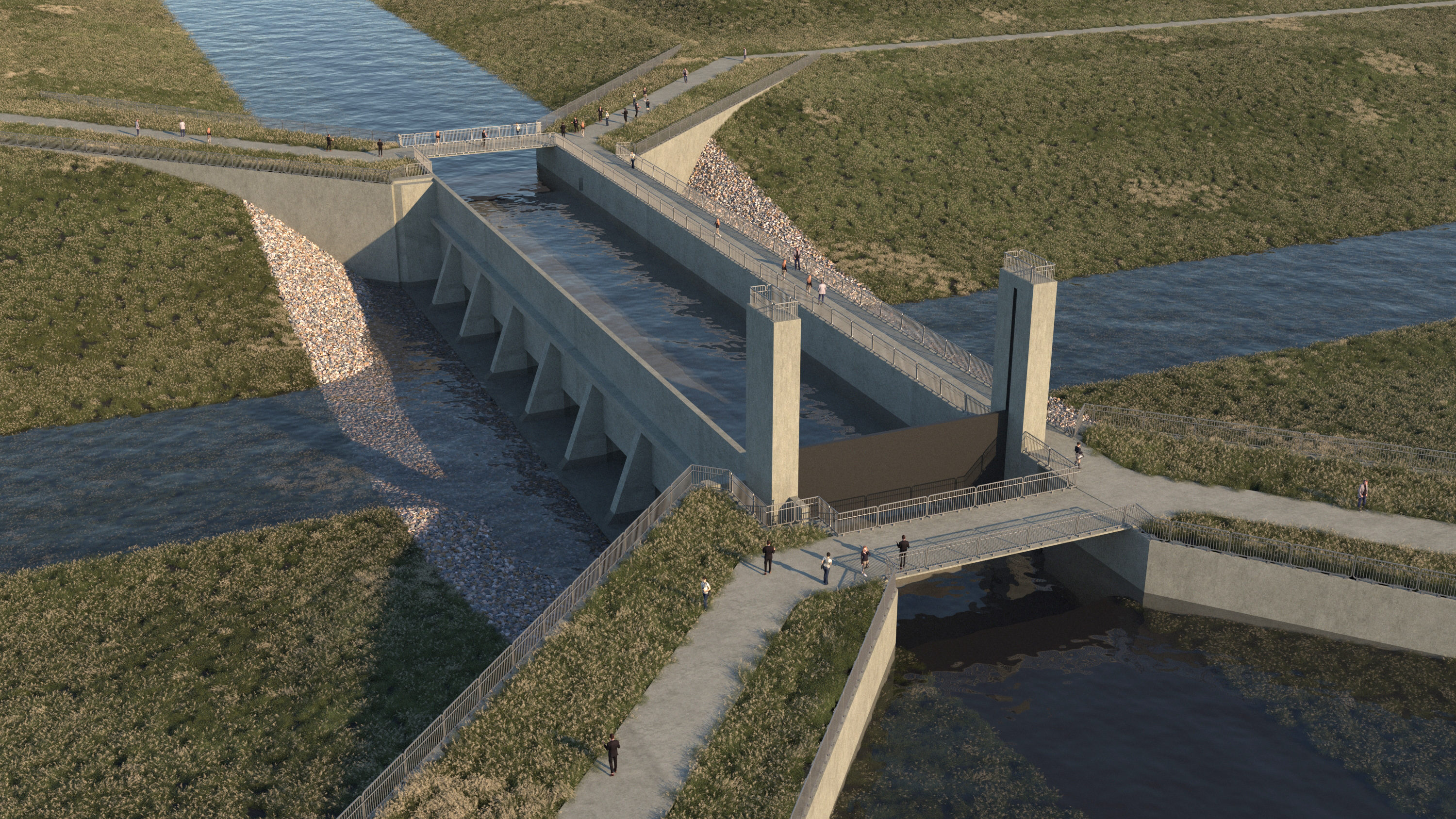
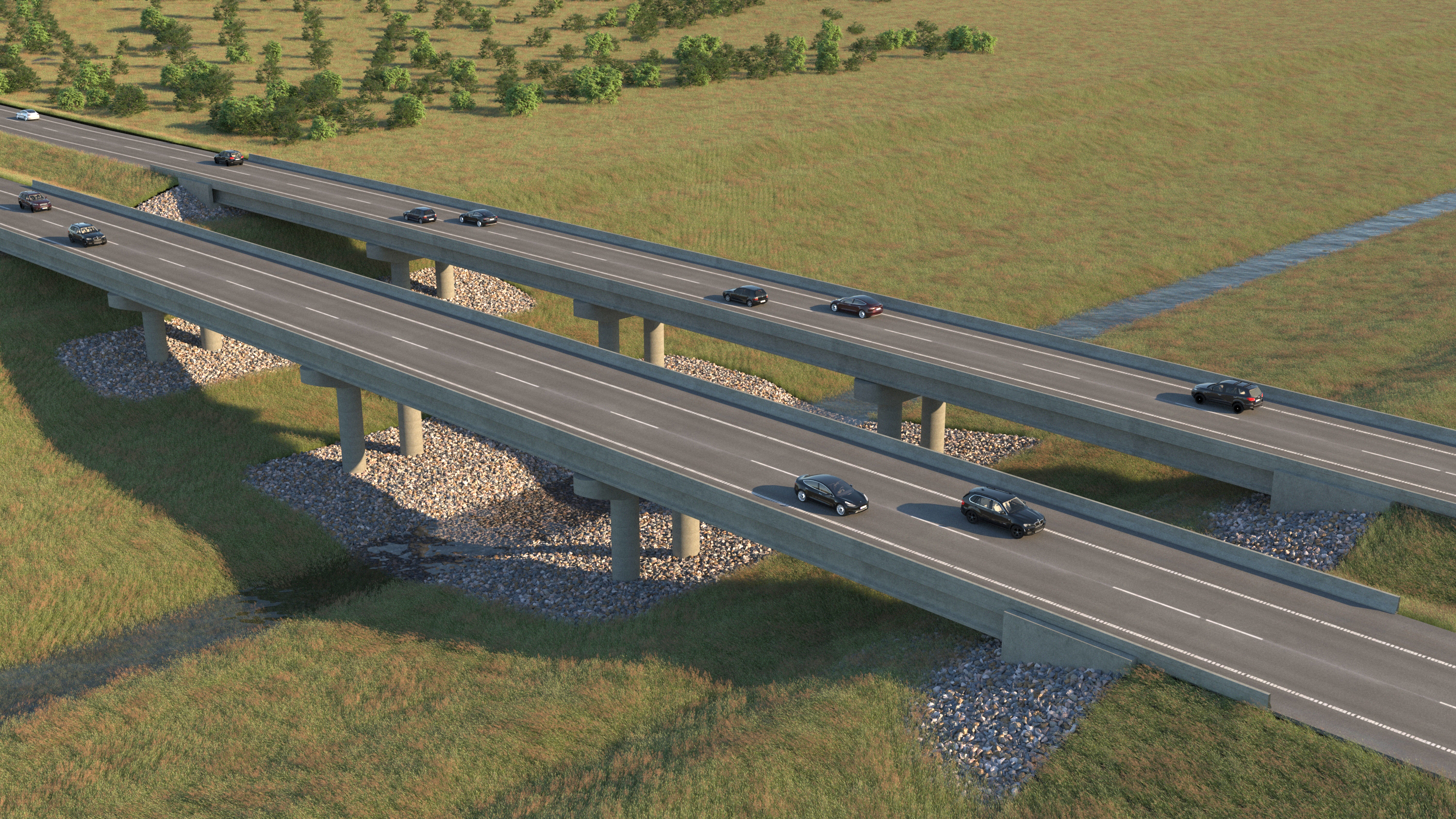
A system of levees and floodwalls will lead the excess water into the wide diversion channel, which will carry the water safely around the metropolitan areas. To accommodate the existing infrastructure, it is necessary to build road and rail crossings to lead traffic across the channel.
Two aqueducts will let the Sheyenne River and the Maple River – tributaries to the Red River – pass above the channel, protecting the integrity of the rivers and the ecosystems.
In addition, 14 inlet structures will serve as storage of floodwater, so excess water can gradually be directed into the channel without causing downstream flooding.
Joining forces to tackle flooding
This project marks a landmark first for a public-private partnership model in delivering large-scale flood risk reduction in North Dakota and Minnesota.
“This project is a major endeavour, and it is setting a standard for how to approach climate change adaptation. Due to the unique partnership model, all implied parties need to adapt, but it is a strength that we can combine forces from the private and the public sectors. To succeed with a project of this magnitude, you need close collaboration and coordination, and fortunately, we have had good partners on this project,” says John Chapman, Vice President and Market Director, Coastal Resiliency, COWI.
Three continents, one project
COWI and Hatch are leading the final design of the project, drawing on expertise from teams across North America, Europe and Asia.
The projects highlights our ability to draw on international experts from across the world, being able to work around the clock in three different continents. By combining global knowledge with digital tools such as BIM and parametric design, the teams have coordinated the design of the project's complex network of bridges, aqueducts and hydraulic structures.

What we do in North America
COWI in North America works primarily within transportation, water, climate resiliency, renewable energy and federal infrastructure. We draw on nearly a century of expertise, and with our 7,500 experts worldwide, we can work around the clock to deliver projects for our customers.
Related projects
-

Juneau Creek Bridge, Alaska, USA
Launching seven million pounds of steel across an Alaskan canyon
-

Syphon Reservoir Improvement Project, USA
Strengthening water security for 600,000 people in Southern California
-

The Fehmarnbelt Fixed Link, Denmark and Germany
Connecting Scandinavia and continental Europe through the world’s longest immersed tunnel
Headquarters
COWI A/S
Parallelvej 2
2800 Kongens Lyngby
Denmark
Shortcuts
Sustainability and governance
Terms of use